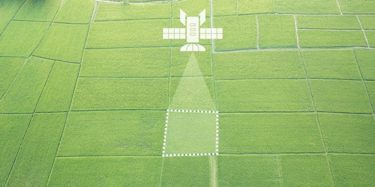
Satellite imaging in agriculture offers a wide range of monitoring capabilities in agriculture, including crop monitoring, soil mapping, and others. Accessing satellite imaging solutions often requires a subscription to a specialized platform. These platforms provide user-friendly data formats and do not charge extra for space-retrieved images on each available date. Moreover, the platform offers valuable features for crop analysis, including vegetation and productivity maps, scouting tasks, weather forecasting and monitoring, historical data, and field activity recording and tracking.
The global satellite imaging for agriculture market was valued at $516.1 million in 2022, and it is expected to grow with a CAGR of 7.50% during the forecast period 2023-2028 to reach $785.3 million by 2028. The growth in the global satellite imaging for agriculture technology market is expected to be driven by the increasing need for efficient and sustainable agriculture practices.
Satellite imagery serves as a valuable data source for assessing nutrient variability in crops, facilitating precise nutrient application, monitoring nutrient status, and informing strategic decision-making in soil nutrient management. By leveraging satellite imagery, farmers can obtain valuable insights into crop health and performance, enabling them to make informed decisions on enhancing productivity and minimizing losses.
The global satellite imaging for agriculture market presents several opportunities, including the growing concern over climate-related risks, the integration of artificial intelligence (AI) and machine learning (ML) technologies, and the provision of affordable solutions for smallholder farmers. Decision-makers can leverage satellite data to make informed choices regarding climate-sensitive aspects such as land use and water management. AI and ML applications are driving significant advancements in satellite imagery for agriculture, enabling enhanced crop production, improved efficiencies, higher yields, and cost reduction in food production processes. Moreover, the availability of free satellite imagery services such as Amazon Web Services (AWS) offers cost-effective solutions to smallholder farmers, enhancing operational efficiency and supporting sustainable practices such as water and fertilizer conservation.
Global Satellite Imaging for Agriculture Market (by Application)
Crop health monitoring, soil mapping, forestry, and others are some application segments in the global satellite imaging for agriculture market
During the projected timeframe, crop health monitoring is expected to occupy a significant market share in the global satellite imaging for agriculture market. The utilization of satellite-derived imagery data aims to establish a distinct vegetation index for assessing variations in crop coverage and their consequent impact on grain yield. Regions such as China, North America, and Asia-Pacific are anticipated to experience substantial growth in crop health monitoring, given their emphasis on expansive agricultural sectors and the cultivation of diverse crop varieties across extensive farmland areas.
Global Satellite Imaging for Agriculture Market (by Product)
Data acquisition, processing, analytics, and integrated delivery platform are some product segments in the global satellite imaging for agriculture market.
During the forecasted period, the integrated delivery platform segment is projected to hold a significant market share in the global satellite imaging for agriculture market. Regions such as China, North America, and Asia-Pacific are expected to experience notable CAGR in this segment. These regions, characterized by vast geographical areas and diverse terrains, face challenges in achieving efficient logistics and delivery operations. Integrated delivery platforms leverage satellite imaging to address these challenges by offering real-time monitoring and optimization of delivery routes, enabling more efficient and timely deliveries throughout the respective countries.
North America and Europe are projected to witness substantial demand for satellite imaging in the agriculture sector. The consolidation of small farms and the consequent expansion of average field sizes is expected to create favorable conditions for the adoption of satellite imaging technologies in agriculture. This is due to the potential for improved farm productivity at a large scale, thereby shortening the payback period for satellite imaging investments in the agricultural domain.
Competitive Landscape
The global satellite imaging for agriculture market is characterized by a high degree of fragmentation, with a limited number of dominant established players and a large group of emerging start-ups. Competition among market participants revolves around product offerings, pricing, innovation, and customized services. In terms of product offerings, companies are providing solutions that cater to the diverse requirements of different crop types and applications. Pricing strategies are influenced by factors such as resolution and image quality, coverage area, frequency of image updates, analysis and value-added services, and subscription plans as means to establish a competitive edge in the market.
Action Required: Download Now to Unleash the Power of the Satellite Imaging for Agriculture Market
The report encompasses a comprehensive analysis of key companies operating in the satellite imaging for agriculture market, including Airbus, Esri, European Space Imaging, Farmers Edge Inc, Gamaya, ICEYE, NaraSpace Inc, Open Cosmos Ltd, Planet Labs PBC, Satellite Imaging Corporation, Satellogic, SkyWatch, SpaceKnow Inc., Descartes Labs, Inc, and EOS Data Analytics, Inc.
The increasing demand for food production amidst uncertain agricultural market conditions, characterized by escalating input costs (such as fertilizers and seeds), has prompted investments in satellite imaging technology. During the forecast period, the need for satellite imaging in agriculture is further expected to rise owing to the rising average farm sizes or small farm consolidations.